

Find your
perfect beach.
Hidden coves. Open surf. Wild coast.
Your local guide from Quepos to Uvita.
Quepos & Manuel Antonio
Close to town: a waterfront viewpoint, forest coves and the main public surf beach.
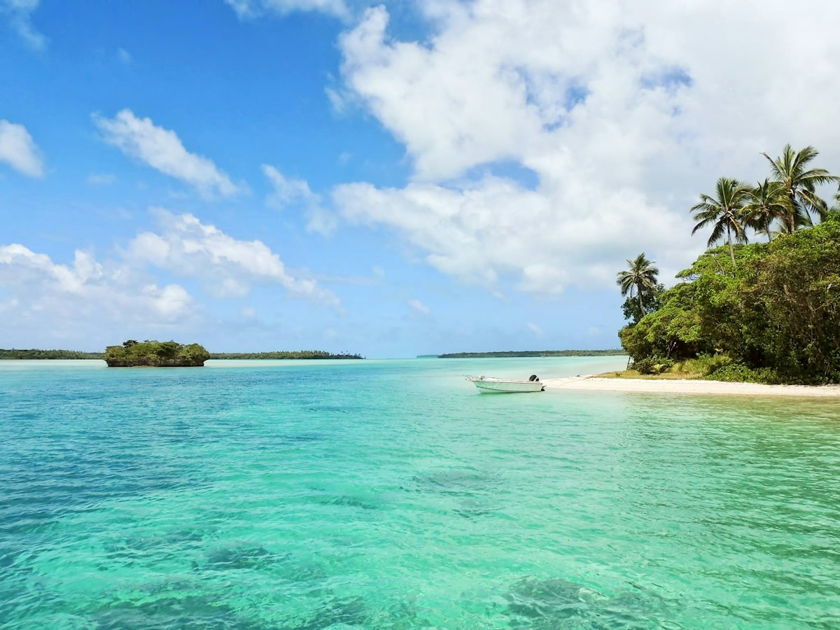
Nahomi waterfront
Views · conditional swimming
Access: Use Parque Nahomi, past Marina Pez Vela. Naomi/Nahomi spellings appear in map listings; this is a rocky waterfront rather than a broad sandy beach.
Beach details & nearby stops
- Facilities
- Public park and seating; restaurants nearby at the marina. Toilets and rentals vary.
- Highlights & water suitability
- Sunset and bay views. Rocky entry, currents and boat activity make swimming an experienced-swimmer option only in suitable conditions; snorkelling is not dependable.
- Nearby
- Marina Pez Vela and the Quepos malecón.
- Fishing · Not a default recommendation
- Rocky access, boat traffic and park users limit suitable casting space. Confirm permitted areas locally; never cast across access paths.
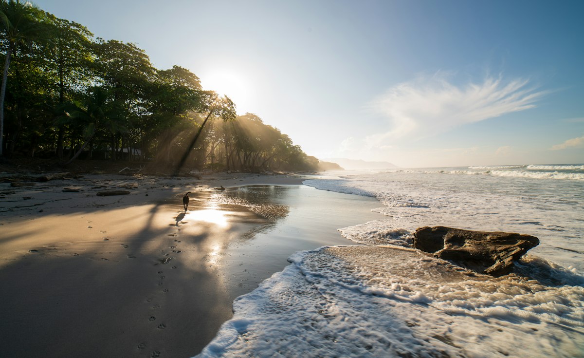
Playa La Macha
Hiking · secluded scenery
Access: Walking-only final access on a steep, rough forest trail. Confirm the legal public route locally; do not cross private property.
Beach details & nearby stops
- Facilities
- No dependable beach services; bring water and suitable footwear.
- Highlights & water suitability
- Small forest-fringed cove. Exposed rocks and changing surf: swimming only if conditions are suitable; not a dependable snorkelling or beginner-surf destination.
- Nearby
- Quepos and Manuel Antonio restaurants.
- Fishing · Not a default recommendation
- Steep foot access and rocks make carrying tackle and fishing less practical. Fishing permissions at the exact cove have not been confirmed.
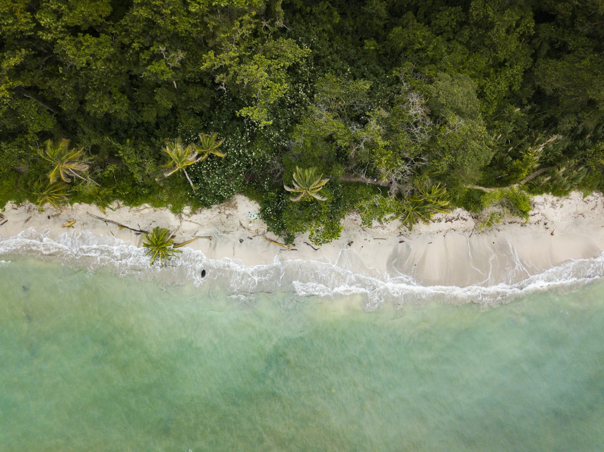
Playa Biesanz
Swimming · conditional snorkelling
Access: Short rocky downhill trail from the road toward the Parador area. Walking-only final access.
Beach details & nearby stops
- Facilities
- Kayak, chair and snorkel rentals may be offered by local vendors; availability varies. No guaranteed public showers/toilets.
- Highlights & water suitability
- Sheltered cove, usually a better swimming choice in calm weather. Snorkelling depends on water clarity, swell and rain; not a surf beach.
- Nearby
- Parador area, Shana area and Manuel Antonio dining.
- Fishing · Not a default recommendation
- Small swimming/kayaking cove. Avoid hooks and lines around bathers; confirm any permitted fishing area locally.
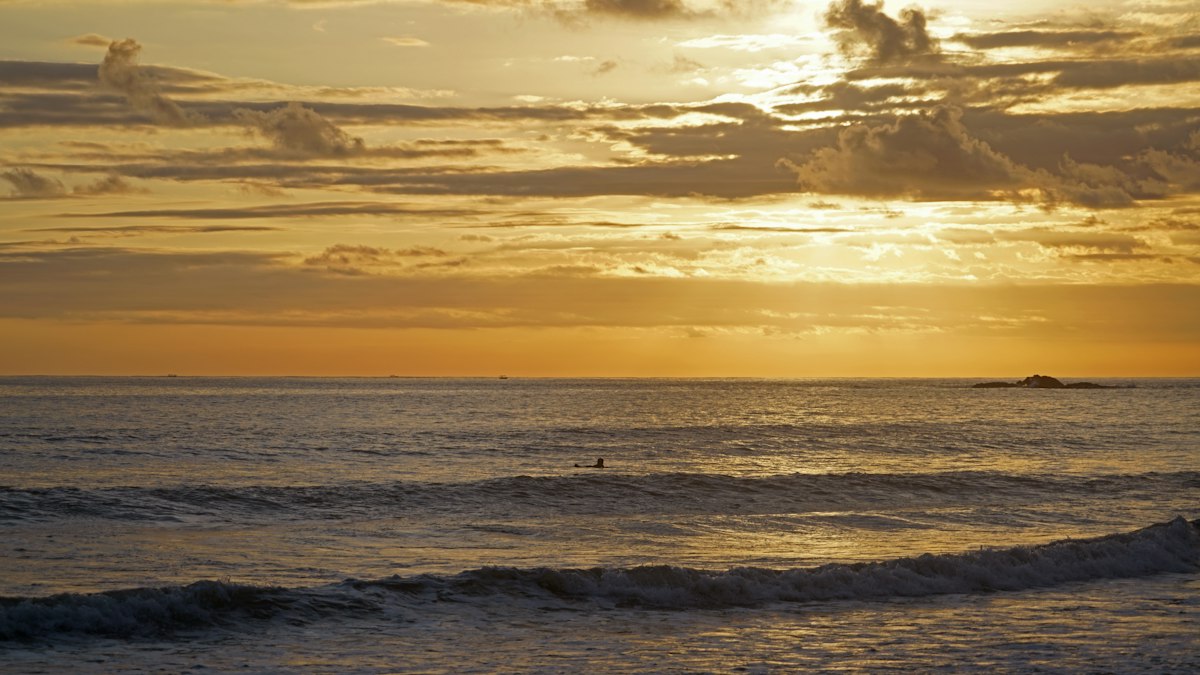
Playitas
Surfing · sunsets
Access: Northern end of Espadilla. Shoreline access around rocks can be cut off at high tide; use a confirmed public land route instead when needed.
Beach details & nearby stops
- Facilities
- Surf lessons/rentals in the area; beach services vary. Hotel facilities are for customers/guests.
- Highlights & water suitability
- Scenic northern beach break. Choose a surf instructor for conditions and ability; swimming and snorkelling are not its main strengths.
- Nearby
- Espadilla Norte and the Arenas del Mar area.
- Fishing · Conditional shore access
- Surfing and beach users share the shore. Confirm legal casting areas locally and avoid tide-cut rock crossings.
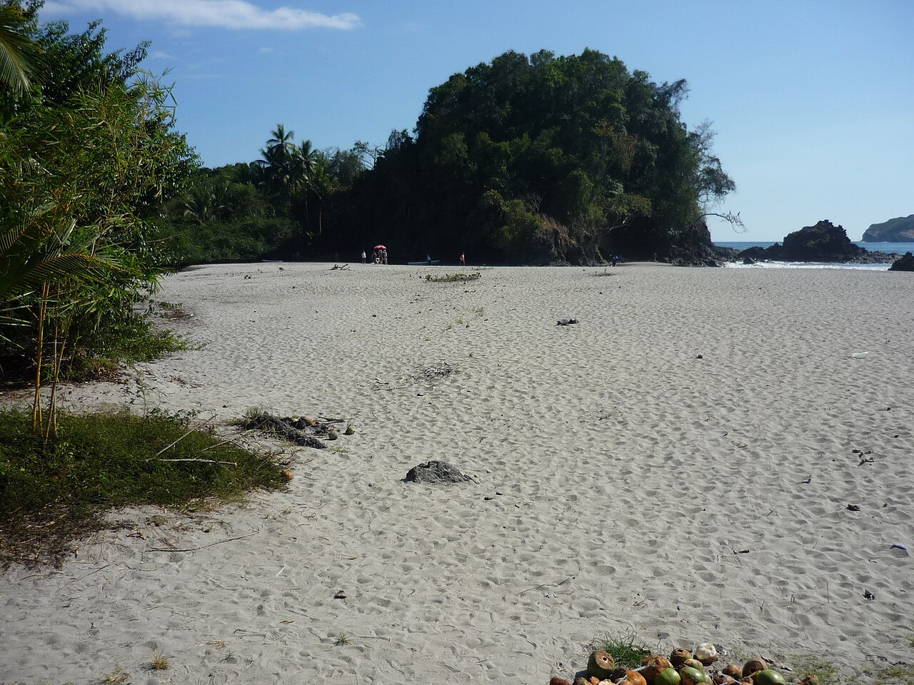
Espadilla Norte
Surfing · conditional swimming
Access: Public beach outside the national park; no park ticket required. Parking and rentals may charge.
Beach details & nearby stops
- Facilities
- Restaurants, surf schools, vendors and chair rentals nearby; ask providers about toilets/showers.
- Highlights & water suitability
- The main Manuel Antonio beach, with broad sand and sunset views. Swim only where local flags/conditions permit; rip currents occur. Snorkelling is generally poor in surf.
- Nearby
- Manuel Antonio village, Playitas and park entrance.
- Fishing · Conditional shore access
- Outside Manuel Antonio National Park, but busy with swimmers and surfers. Confirm the exact boundary and permitted areas before fishing.
Inside Manuel Antonio Park
Four coastal stops reached on foot after national park ticket control.
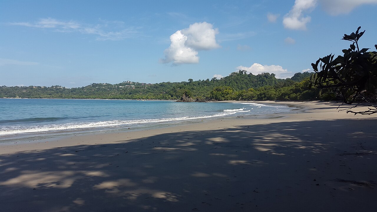
Espadilla Sur
Beach walks · conditional swimming
Access: Inside Manuel Antonio National Park: timed ticket and walking trails required.
Beach details & nearby stops
- Facilities
- Shared park toilets, changing areas, showers and drinking-water points; not all are beside the beach.
- Highlights & water suitability
- Quieter sand behind the park gates. More exposed surf than Playa Manuel Antonio: ask rangers before entering the sea. Not a dependable snorkelling beach.
- Nearby
- Park forest trails and Playa Manuel Antonio.
- Fishing · Fishing prohibited
- Inside Manuel Antonio National Park.
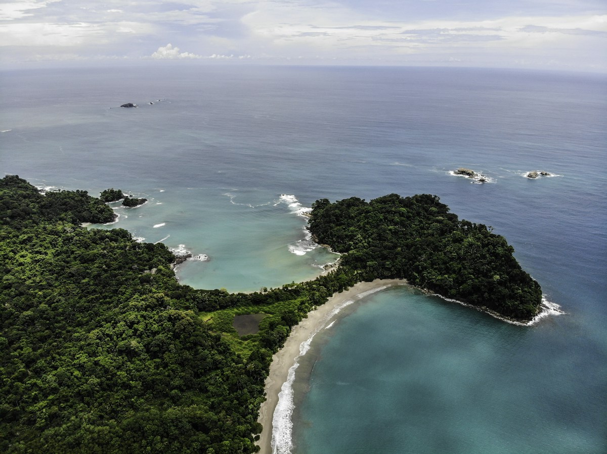
Playa Manuel Antonio
Swimming · conditional snorkelling
Access: Inside Manuel Antonio National Park; reach it on marked trails after ticket control.
Ranked #17 among the world’s top 25 beaches in Tripadvisor’s 2019 Travelers’ Choice Awards. View the 2019 list ↗
Beach details & nearby stops
- Facilities
- Shared park toilets, showers, changing facilities and water refill points.
- Highlights & water suitability
- Sheltered scenic bay and a better calm-water choice. Snorkelling near rocky edges only when visibility and sea conditions allow; keep clear of wildlife.
- Nearby
- Espadilla Sur, forest trails and Punta Catedral area (check trail opening).
- Fishing · Fishing prohibited
- Inside Manuel Antonio National Park.
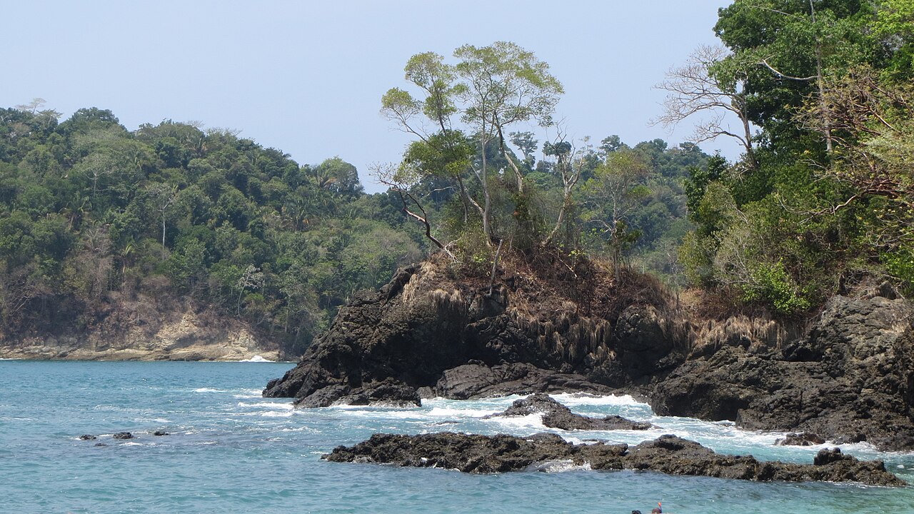
Playa Gemelas
Scenery · conditional swimming
Access: Inside the park on marked trails. Ask rangers about current trail access.
Beach details & nearby stops
- Facilities
- Use shared park facilities before continuing; no dependable services at this small beach.
- Highlights & water suitability
- Twin coves divided by rocks. Less beach space at high tide; rocks and swell limit swimming. Do not treat it as a guaranteed snorkelling spot.
- Nearby
- Puerto Escondido viewpoint and park wildlife trails.
- Fishing · Fishing prohibited
- Inside Manuel Antonio National Park.
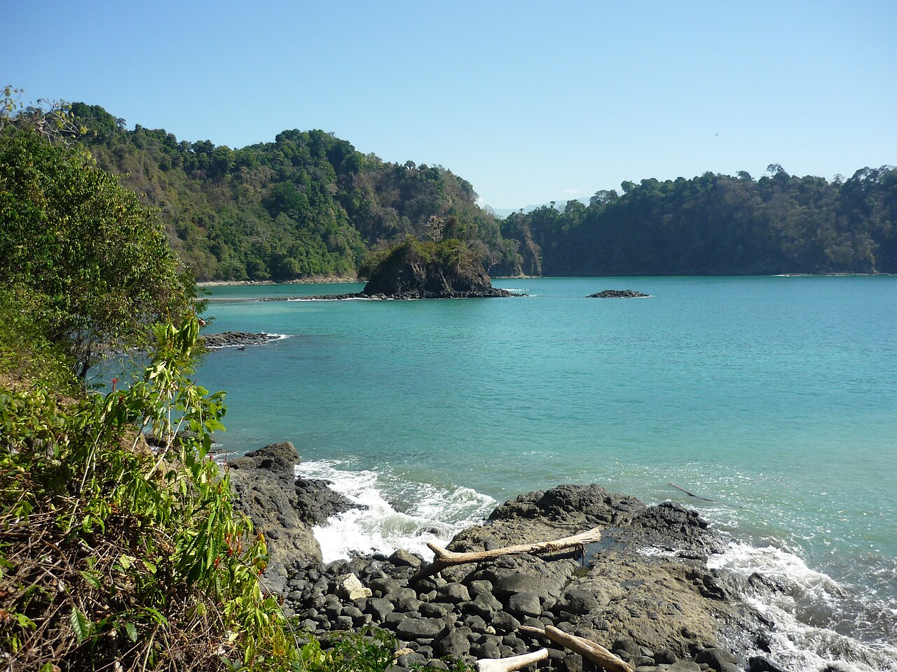
Puerto Escondido
Viewpoint · photography
Access: Correct name: Puerto Escondido, rather than Puesto Escondido. Plan for the viewpoint, not assured beach entry. Rangers must confirm access; beach visits are tide-restricted.
Beach details & nearby stops
- Facilities
- Shared park facilities only; none guaranteed at the viewpoint/beach.
- Highlights & water suitability
- Dramatic coastal scenery. Beach access is allowed only at low tide under park rules and may be restricted. Not recommended here for swimming, surfing or snorkelling.
- Nearby
- Playa Gemelas and Punta Serrucho viewpoints, subject to ranger instructions.
- Fishing · Fishing prohibited
- Inside Manuel Antonio National Park; tide-dependent access does not permit fishing.
North to Parrita
Longer shoreline outings north of Quepos, with one requested beach still awaiting identification.
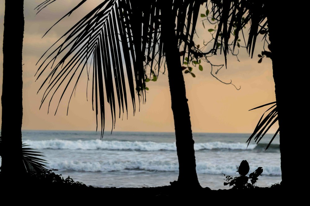
Pueblo Nuevo, Parrita
Not yet classified
Access: Pueblo Nuevo is a community on the approach to Palo Seco, not a verified separate beach. Do not use this community pin as a beach access point.
Beach identity unconfirmed. This community pin is not a verified beach access point.
Beach details & nearby stops
- Facilities
- Shops and supplies in the community; beach facilities not verified.
- Highlights & water suitability
- Nearby candidate: Playa Palo Seco. Its relationship to the requested beach still needs confirmation.
- Nearby
- Parrita town, Palo Seco and Damas mangrove excursions.
- Fishing · Unconfirmed
- The requested beach is not yet identified. Confirm the beach and legal access before planning shore fishing.
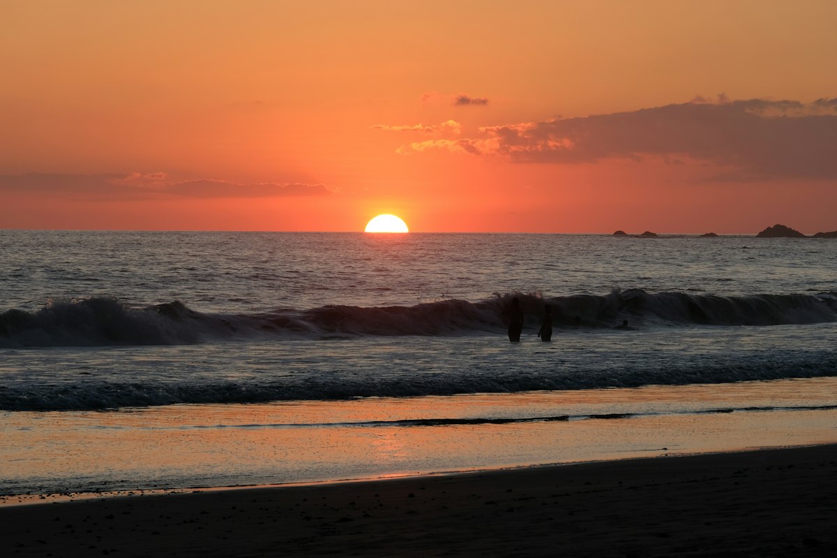
Playa Bandera
Surfing · beach walks
Access: Drive to the beach access via the Parrita fire-station turnoff; avoid soft sand.
Beach details & nearby stops
- Facilities
- Limited services; buy water and food in Parrita. Public toilets/showers not confirmed.
- Highlights & water suitability
- Long, vegetated shoreline and sunset views. Strong surf and currents: not a first choice for casual swimming or snorkelling.
- Nearby
- Parrita restaurants, Playa Palo Seco and Rainmaker.
- Fishing · Shore-fishing option
- Local tourism information identifies fishing here. Check current rules and sea conditions; keep casting well away from swimmers.
South to Uvita
Follow the coastal highway through Savegre, Dominical and Costa Ballena.
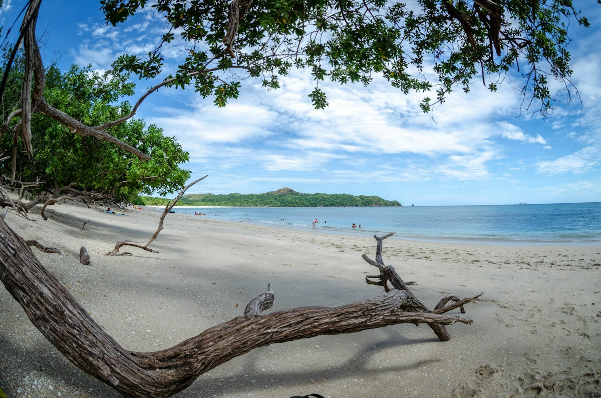
Playa Matapalo
Surfing · beach walks
Access: This is Matapalo near Savegre/Dominical, not Cabo Matapalo on the Osa Peninsula or Matapalo in Guanacaste.
Beach details & nearby stops
- Facilities
- Small village shops, accommodation and some food options; no guaranteed public toilets/showers.
- Highlights & water suitability
- Wide Pacific shoreline and palms. Surf varies with swell; currents make it a poor casual-swimming choice. Snorkelling is not a highlight.
- Nearby
- Savegre valley, Playa Linda and Matapalo village.
- Fishing · Local confirmation needed
- Wide exposed shore, but fishing access/rules at your chosen spot have not been verified. Avoid rough surf and river mouths.
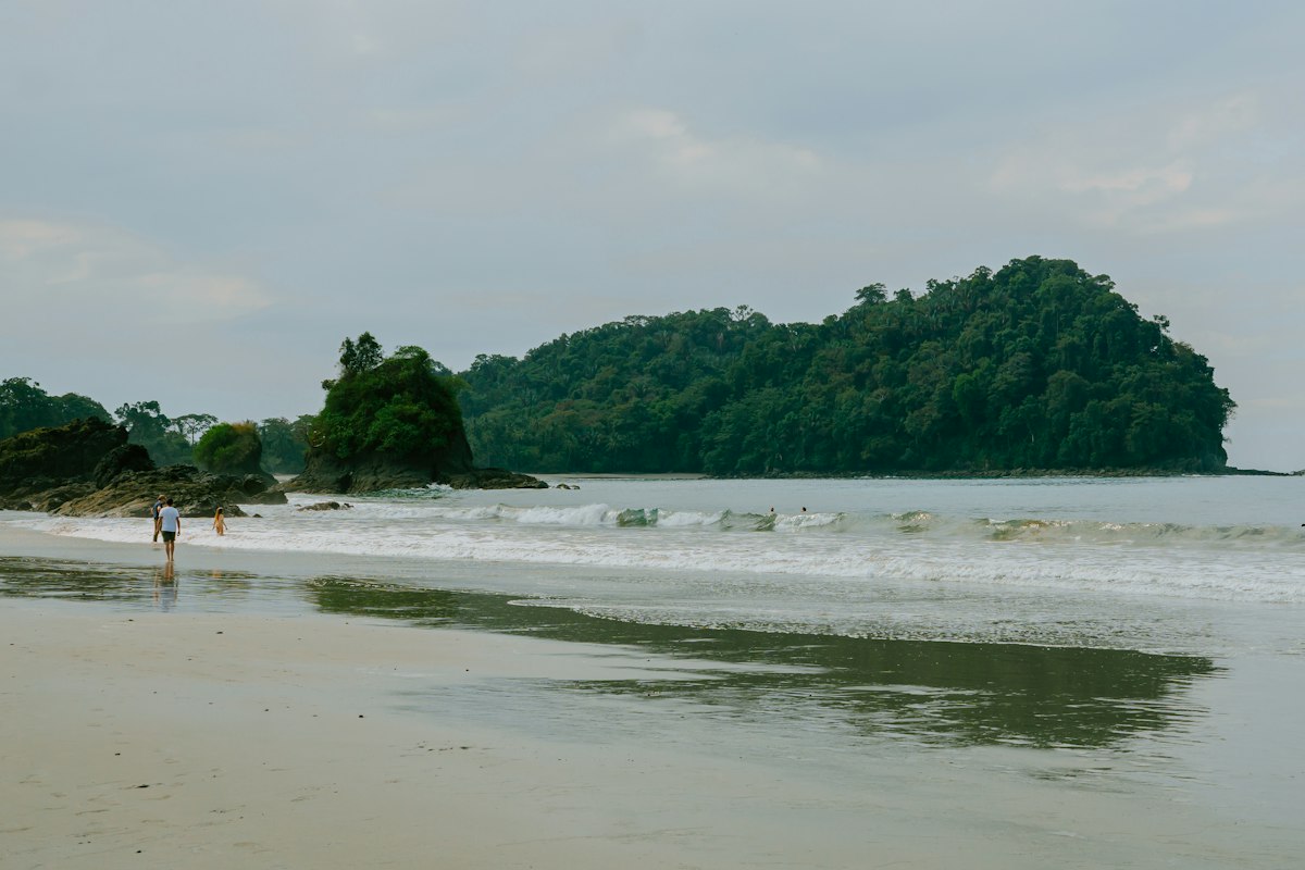
Playa Linda
Beach walks · surfing
Access: Coastal access near Matapalo; road conditions change in heavy rain. Park off the sand.
Beach details & nearby stops
- Facilities
- Very limited beach services; bring supplies. Toilets/showers not confirmed.
- Highlights & water suitability
- Long, quiet shoreline and sunset walks. Exposed surf and rip currents; surfing for suitable ability/conditions, rather than casual swimming or snorkelling.
- Nearby
- Matapalo village and Dominical.
- Fishing · Local confirmation needed
- Check legal access and conditions before shore fishing. No tackle services or beach-specific permission verified.
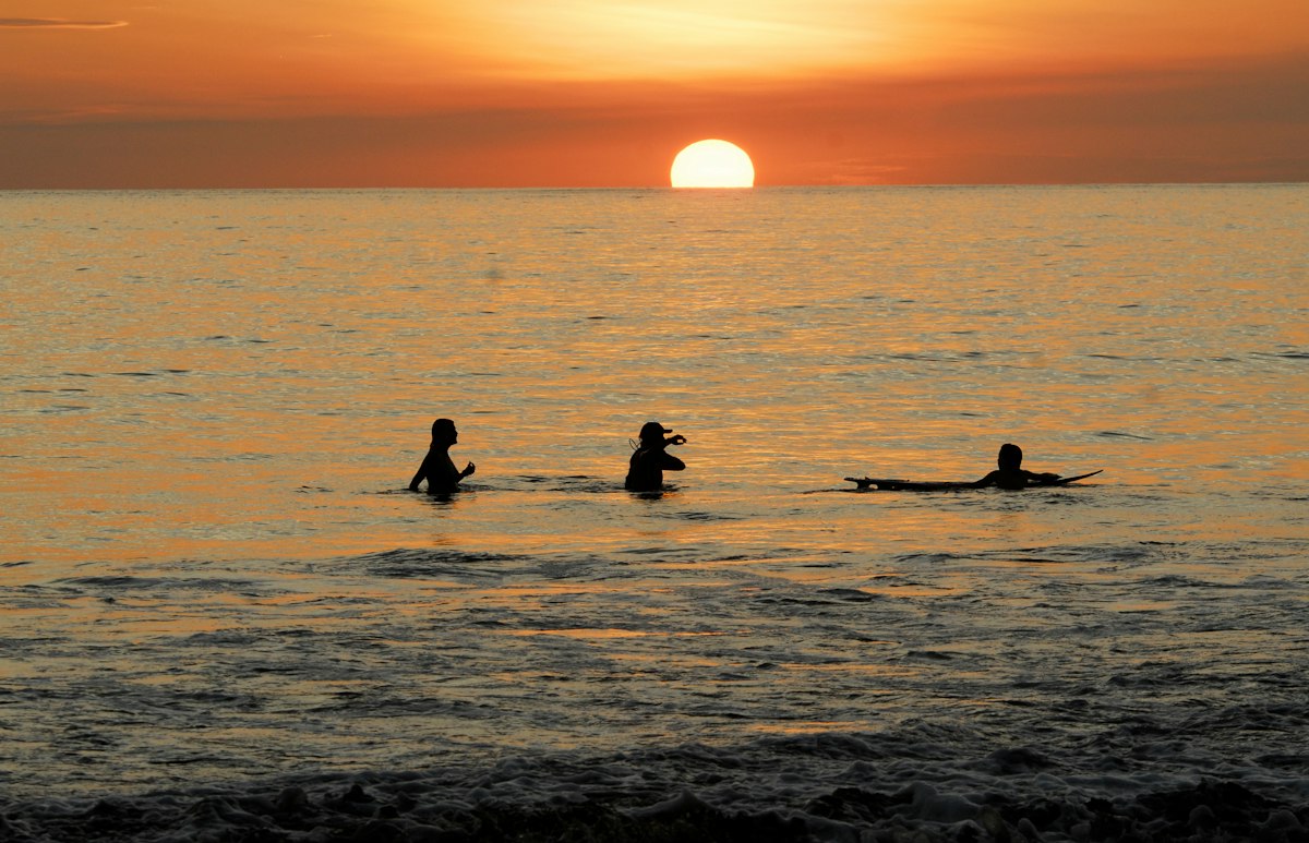
Playa Barú
Nature · beach walks
Access: North of Dominical beside Hacienda Barú. Confirm the public beach route; reserve trails have separate admission and rules.
Beach details & nearby stops
- Facilities
- Reserve services for paying visitors and services in Dominical; no guaranteed beach facilities.
- Highlights & water suitability
- Wild shoreline beside a wildlife refuge. Strong surf and proximity to the river mouth make swimming/snorkelling unsuitable as a default recommendation.
- Nearby
- Hacienda Barú trails and birdwatching; Dominical.
- Fishing · Protected-area check needed
- Ask Hacienda Barú/SINAC about the exact reserve boundary and rules. Do not assume fishing is allowed in or beside the refuge.
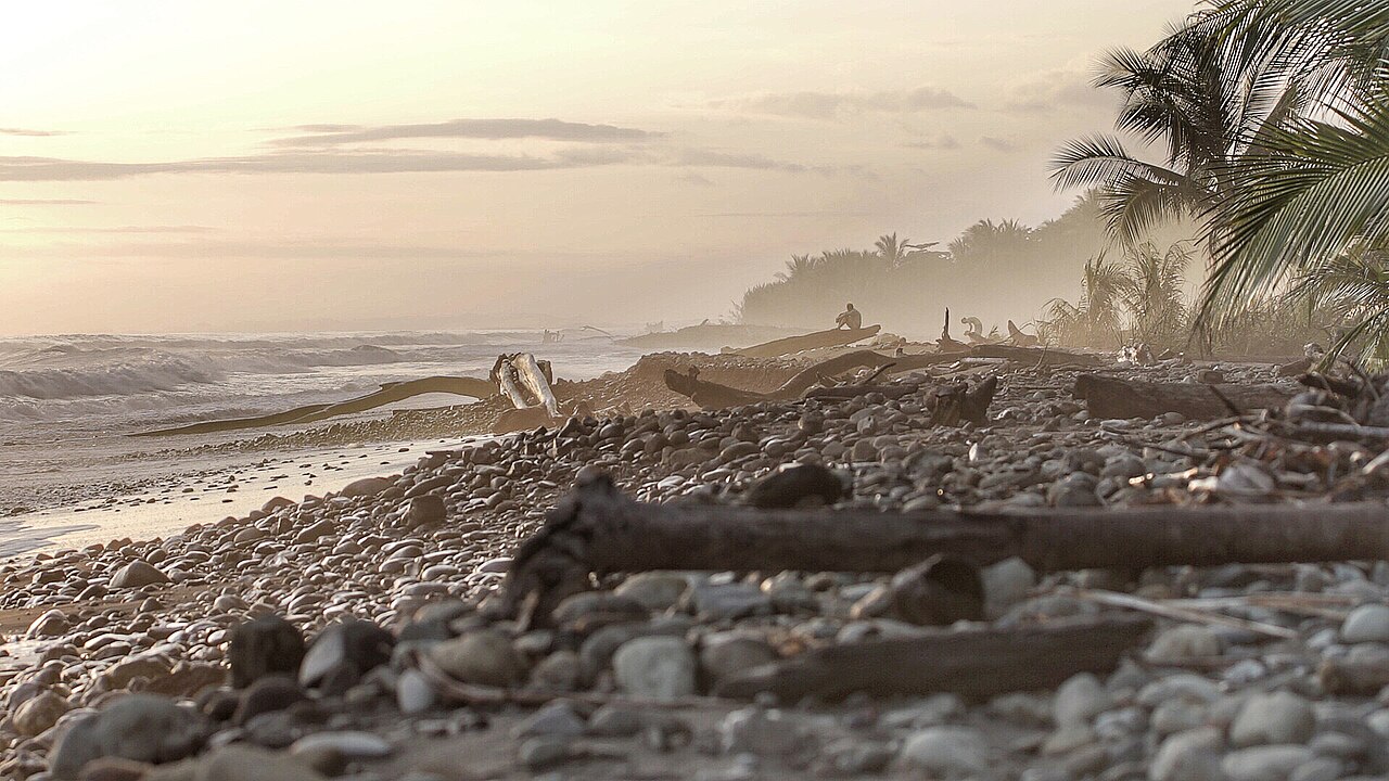
Playa Dominical
Surfing · surf-town day trip
Access: Drive into Dominical and walk to the beachfront; no national park ticket.
Beach details & nearby stops
- Facilities
- Restaurants, shops, surf schools and rentals in town. Check lifeguard coverage and flags on arrival.
- Highlights & water suitability
- Consistent powerful beach break, mainly for intermediate/advanced surfers. Strong currents: not a casual-swimming or snorkelling recommendation.
- Nearby
- Hacienda Barú, Nauyaca Waterfalls and Dominical cafés.
- Fishing · Local confirmation needed
- Strong surf, surfers and the Barú river mouth make site selection important. Confirm permitted access and avoid the river mouth.
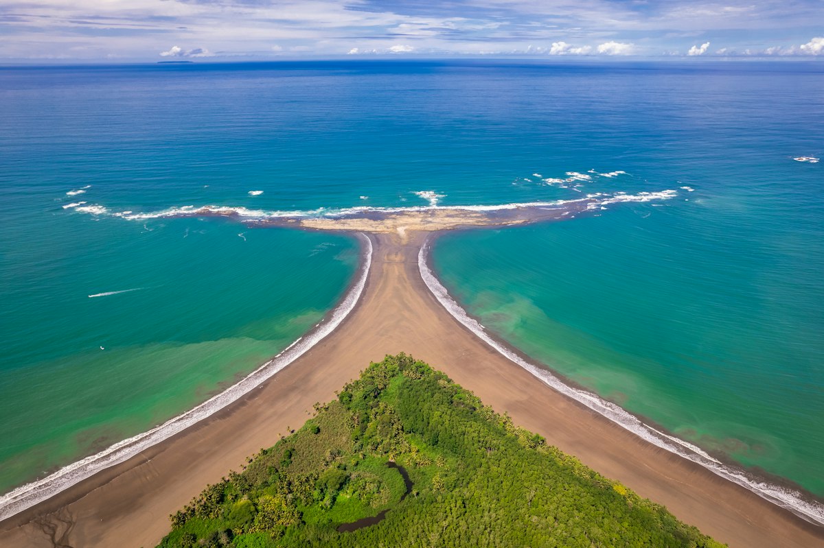
Playa Uvita
Beach walks · conditional swimming
Access: Inside Marino Ballena National Park: paid park entry. Whale Tail access on foot only at low tide; return before the tide rises.
Beach details & nearby stops
- Facilities
- Ranger entrance, toilets and nearby Bahía/Uvita restaurants; confirm shower availability locally.
- Highlights & water suitability
- Whale Tail sandbar and marine scenery. Swim only in permitted areas with calm conditions. Reef snorkelling is usually a guided boat outing, not guaranteed from this sandy beach.
- Nearby
- Whale-watching operators, Uvita town and Uvita waterfall.
- Fishing · Fishing prohibited
- Inside Marino Ballena National Park; the park entry ticket does not authorise fishing.
Local tide chart
Check the high and low tides for your beach day using Universidad Nacional’s Quepos predictions. Select your visit date on the official chart.
Surf schools & shops
Learn locally, rent a board or pick up beach essentials. Start close to Quepos in Manuel Antonio, or combine a surf stop with a day trip south to Dominical or Uvita.
Alejandro Surf School
Private lessons, children’s lessons, adapted surfing and surf/bodyboard rentals.
Da Hui Surf School
Private/group lessons, board rentals and used-board buying/selling. Confirm the meeting point when booking.
Tico Surf School
A local lesson option in Manuel Antonio. Contact the school for the beach meeting point, lesson level and availability.
Costa Rica Surf Camp & Surf Shop
Beachfront shop next to El Coco Restaurant: board rentals, used boards, surf accessories, beachwear and lessons.
Costa Verde Surf Shop
At Dome Plaza: surfboard and bodyboard rentals, surf/beach clothing, rash guards and accessories.
Details checked against each business’s website on 9 October 2026. Confirm opening hours, current stock, prices and the meeting point directly. Your instructor should choose the beach and session for your ability and the day’s conditions.
Fishing on the coast
Playa Bandera is a locally documented shore-fishing option. Fishing is prohibited at the Manuel Antonio and Marino Ballena national park beaches. Other locations require confirmation of the exact spot and current rules.
Open Beach details & nearby stops on any beach card for its fishing guidance.
References: Bandera local tourism guide; SINAC Manuel Antonio rules; SINAC Marino Ballena rules. Reviewed 9 October 2026. No catches, species or fishing permission at unverified spots are guaranteed.
Photo credits & reuse rights
- Nahomi waterfront: Sébastien Jermer · Unsplash licence.
- Playa La Macha: Nathan Farrish · Unsplash licence.
- Playa Biesanz: Berti Benbanaste · Unsplash licence.
- Playitas: Outward Bound Costa Rica · Unsplash licence.
- Espadilla Norte: Axxis10 · CC BY-SA 4.0.
- Espadilla Sur: Rodtico21 · CC BY-SA 4.0.
- Playa Manuel Antonio: Atanas Malamov · Unsplash licence.
- Playa Gemelas: Guy Vaillancourt · CC BY-SA 3.0.
- Puerto Escondido: Axxis10 · CC BY-SA 4.0.
- Pueblo Nuevo, Parrita: Bernd Dittrich · Unsplash licence.
- Playa Bandera: Simone Dinoia · Unsplash licence.
- Playa Matapalo: Lindsay Loucel · Unsplash licence.
- Playa Linda: Filiz Elaerts · Unsplash licence.
- Playa Barú: Christina Victoria Craft · Unsplash licence.
- Playa Dominical: Fky · CC BY 3.0.
- Playa Uvita: César Badilla Miranda · Unsplash licence.

